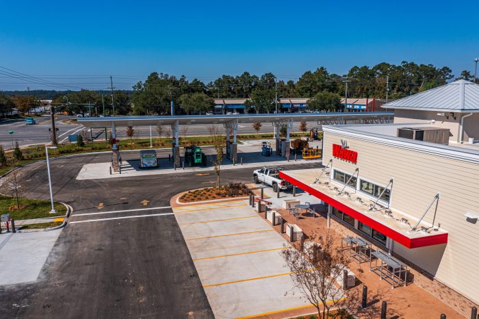
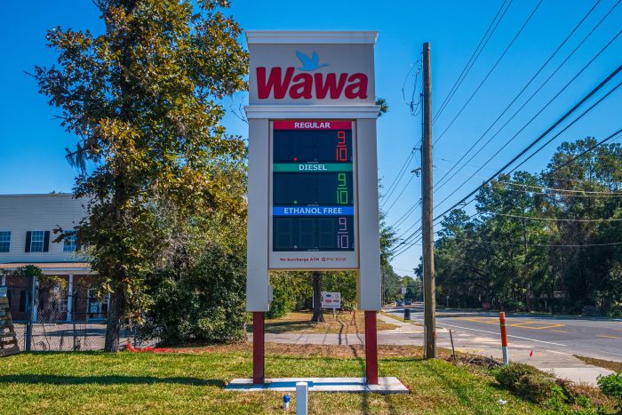
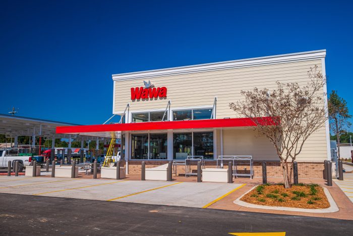
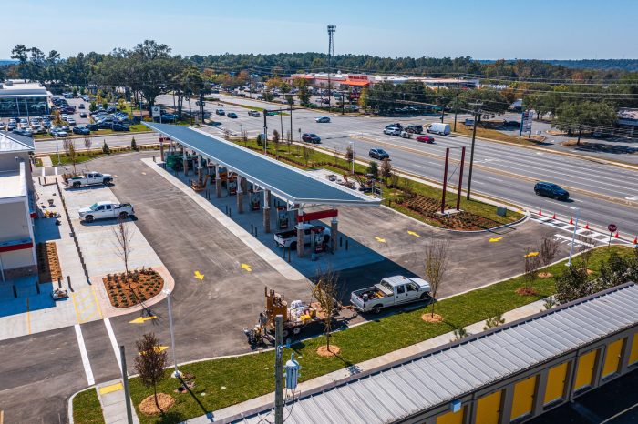
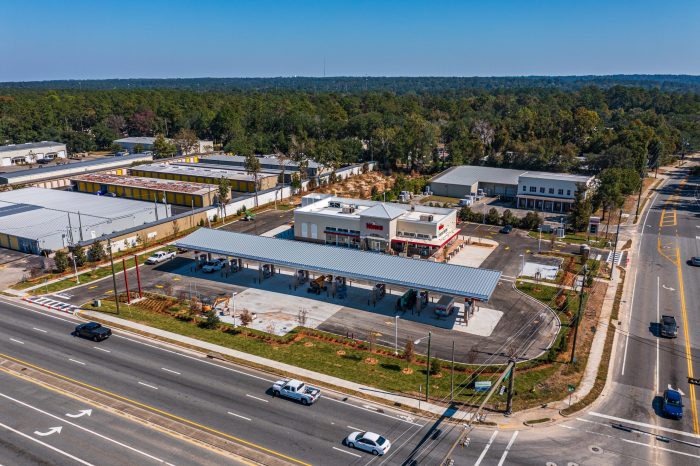
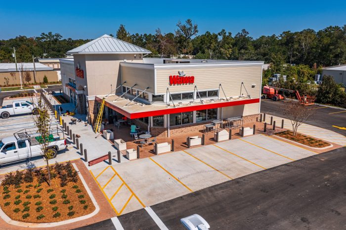
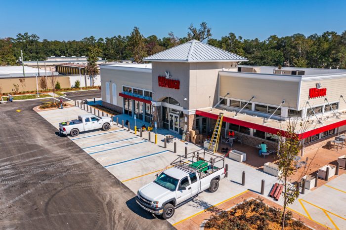
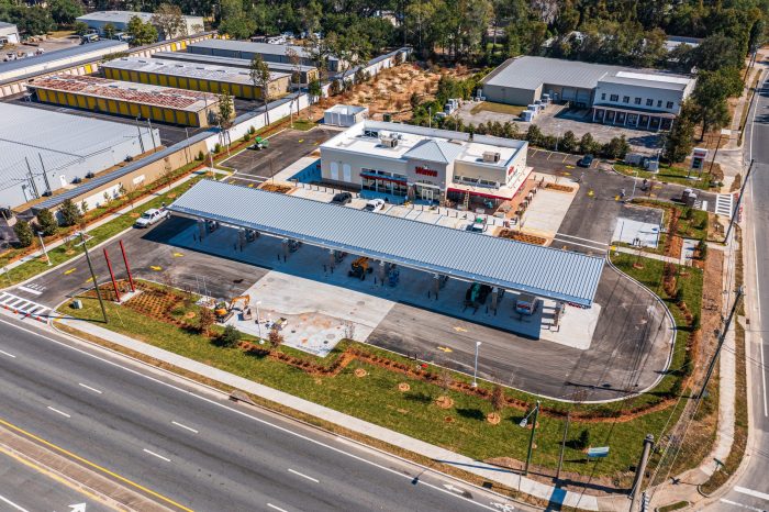
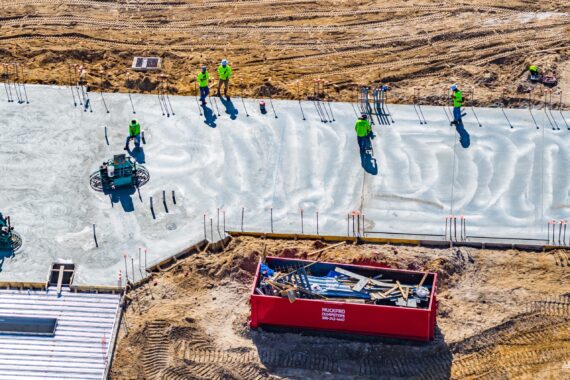
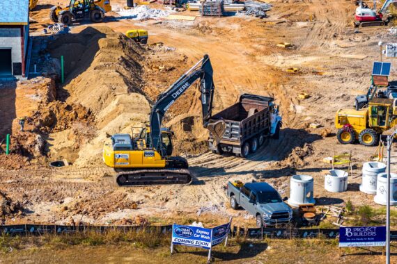
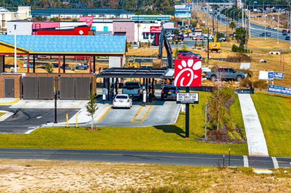
For a recent project in Tallahassee, FL, we captured aerial and ground-level imagery of a Wawa gas station under construction, highlighting the role of drones in documenting key phases of commercial projects. Tallahassee’s growth makes it a dynamic backdrop for new developments, and using drone technology allowed us to document the gas station’s construction progress with efficiency and precision.
With our Mavic 2 Pro, we provided high-resolution aerial shots that captured the layout, surrounding areas, and infrastructure placement, which is crucial for a busy urban environment like Tallahassee. The aerial perspective gives project managers a comprehensive view of how the gas station fits into the city’s landscape, ensuring alignment with local planning and aesthetics.
Complementing the aerial footage, we used the Panasonic G7 camera to capture detailed ground-level photos. These images showcase the close-up details of construction, providing a clear view of materials, finishes, and other critical elements that may not be visible from above. Together, the drone and ground shots create a full, layered view of the project’s progress.
This combination of aerial and ground-level photography illustrates the value of drone technology in construction monitoring, especially for high-traffic commercial sites like gas stations. Our images support project tracking, documentation, and client reporting, helping stakeholders visualize each step of development in a bustling city environment like Tallahassee.


